Editorial
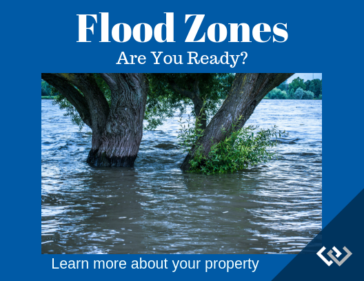
Just in case you forgot... Re-Mapping Flood Zones in Lane County started in the coastal area and plans to be completed in 2019. Inland areas are expect to be released in 2020-2021. Note: Dams may not be considered as part of the exclusion. There are arguments ongoing to prevent this. Elevation Certificates may need revision based on upcoming changes.
Lane County has over 200 sq miles of flood plain, more than any other county in the state of Oregon. The following information will explain why flood insurance is recommended and how to be prepared for upcoming changes.
In 2012, the Biggert Waters Act was designed to allow insurance rates to reflect the true risk of living in high-flood areas to reflect real flood risks and to balance the debt of the National Flood Insurance Program. Federal Emergency Management Agency (FEMA) In 1979, a system by which a presidential disaster declaration of an emergency triggers financial and physical assistance. The Act gives FEMA the responsibility for coordinating government-wide relief efforts.
Changing Legislation FEMA lost a lawsuit by the National Marine Fisheries Division, with regard to “facilitates influences and even promotes and encourages human development in Oregon flood plains that will jeopardize the continued existence of any species protected under the Endangered Species Act, or damage its critical habitat.” Because FEMA is not, as a matter of law, responsible for the effects of floodplain development that may be covered by FEMA insurance, FEMA has changed its policy to update flood zone mapping. In contrast, you likely do need the approval of local and state agencies, and other federal agencies. Along with increased insurance premiums, FEMA may prohibit new development in high-hazard areas to include a 60 year erosion setback.
-- Judy Casad, Real Estate Broker

Check it out...
I promise to update you with FEMA developments on re-mapping.
Watch my blog, connect with my Facebook page or contact me and I'll personally keep you informed. The next report is expected in April of 2019
You need to hurry up, though. Make sure you clarify your insurance options before the change arrives.
Flood Zone Steps

Inside Zone
If you know you are in a flood zone, you should have an Elevation Certificate.
Costs approximately $300

3 Feet Outside
Owners must first acquire an EC. Obtain a LOMA.
Costs can be $0 - 800

Insurance
Required for federally backed loans, and for owners that want FEMA disaster relief without having to pay back a loan or grant.

Exemption
Many caveats around qualifying. Best to consult with a local professional.
Chat Room
Your feedback is welcome


